


Participatory 3-Dimensional Modelling
This handbook published by the Technical Centre for Agricultural and Rural Cooperation ACP-EU (CTA) explains participatory three-dimensional modelling (P3DM). The United Nations Development Programme (UNDP) Global Environment Facility (GEF) Small Grants Programme (SGP) supported the publication of the French and Spanish versions of the handbook. From the Integrated Approaches to Participatory Development (IAPAD) website: "P3DM has been conceived as a method for bringing the potential of GIS [geographic information system] closer to rural communities and for bridging the gap that exists between geographic information technologies and capacities found among marginalised and isolated communities who are frequently dependent on natural resources."
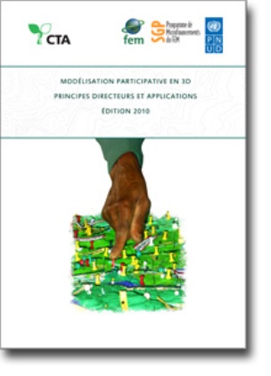
" Essentially based on recollections from memory, land use and cover and other features are depicted by informants on the model by using push pins for points, yarns for lines and paints for polygons. On completion, a scaled and geo-referenced grid is applied to facilitate data extraction or importation. Data depicted on the model are extracted, digitised and plotted. On completion of the mapping exercise, the model remains with the community."
The handbook is "intended to assist activists, researchers, and practitioners of participatory learning and action (PLA) and global information systems (GIS) in bringing the power of GIS to the grassroots level through the use of P3DM. It provides hands-on guidelines on how to organise and implement a P3DM exercise. In addition, it includes insights on adult learning and spatial cognition, on the history of relief models, and on the use of the method around the world."
Publishers
English, French, Spanish
98
Email from Giacomo Rambaldi to The Communication Initiative on December 6 2010 and August 17 2011; and the IAPAD website, August 5 and 19 2011.
- Log in to post comments